What you can build on open field boundaries
Small, working examples on top of the Fields of the World harmonized field data: agricultural field boundaries from many countries in one schema, published as GeoParquet, PMTiles and Cloud-Optimized GeoTIFF. Every demo runs in the browser and reads the data straight from the catalog.
Every page was built with an AI coding agent, in plain language. The "Built with a prompt" button on each page shows the prompt that builds it and how the conversation went.
-
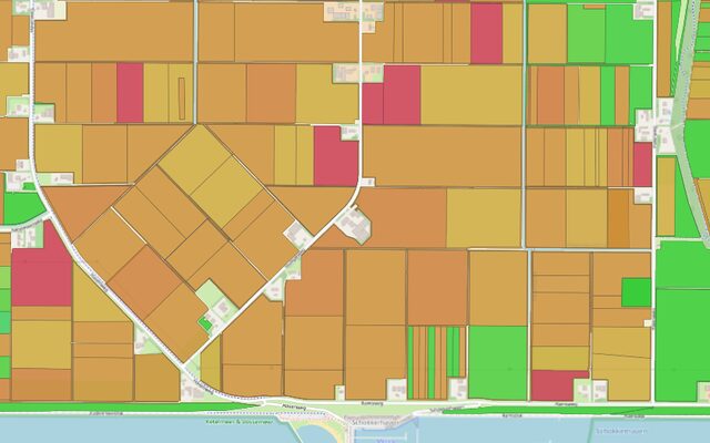
Map of all field data (fiboa.org/map)
All 159 million field boundaries of the harmonized field data on one map, every collection at once, with a switch to colour them by crop.
-
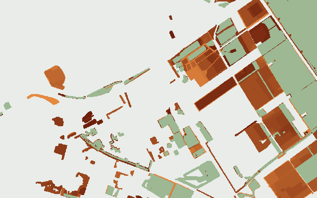
Disappearing Dutch farmland
Eighteen years of the Dutch parcel register on one 2 m raster: how much land left farming, where, and what grew there last.
-
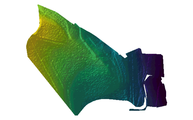
No field is flat
Click a field in the Netherlands, Belgium, France, Germany, Switzerland, Austria, the United States and more, and see its relief from that country's open 1 m height model, with the colours stretched over that one field.
-
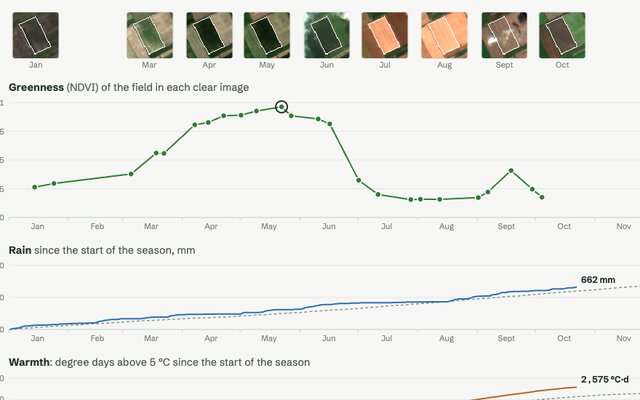
Every field has a season
Click a field anywhere in the catalog and follow its year: how green it is in every clear Sentinel-2 image, and the rain and warmth it got compared with a normal year.
-
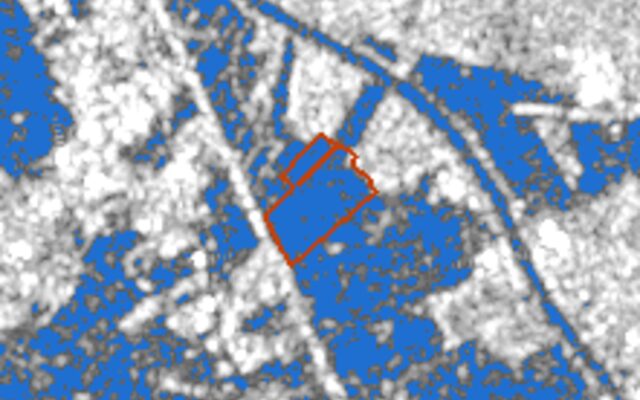
Fields under water
Click a field and see, in every Sentinel-1 radar image of a year, how much of it stood under water, next to the rain of each day. Radar sees through the clouds that come with a flood.
-
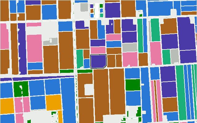
Crop rotation
Every edition of the Dutch, Flemish and Danish registers laid on top of each other: what grew on a field year after year, how varied the rotation is and how often a crop came back.
-
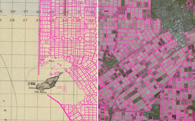
What was here before the fields
Today's fields over old maps and aerial photos, from the eighteenth century on, with a line to drag between then and now: polders where the sea was, heath and marsh turned into farmland, strips merged into blocks.
-
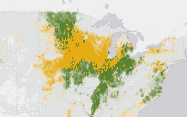
Farming regions
The Corn Belt, Napa Valley, Bordeaux, the olive groves of Jaén: farming regions drawn by their crops, from an overview of the whole world down to every field.